| Permalink: | https://map.sekibutsu.info/archive/10995 ( マップ) |
| データ作成者: | FDG公式 |
| データ作成日: | 2023年 4月 10日 |
©FDG公式 (Licensed under CC BY 4.0)
| 緯度経度: | 35.136773, 137.238968 |
| 所在地: | 愛知県豊田市中金町(23211) |
| 種類: | 道標 |
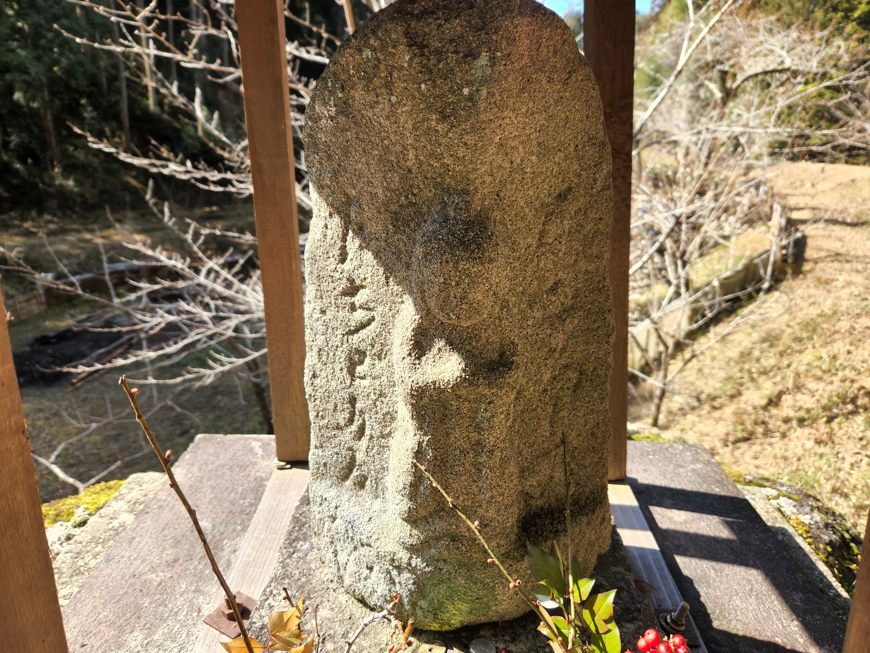
| 備考: | 右 ◯◯◯ 左 ちどり◯ 馬頭観音道標 |
| Permalink: | https://map.sekibutsu.info/archive/10995 ( マップ) |
| データ作成者: | FDG公式 |
| データ作成日: | 2023年 4月 10日 |
| 緯度経度: | 35.136773, 137.238968 |
| 所在地: | 愛知県豊田市中金町(23211) |
| 種類: | 道標 |
| 備考: | 右 ◯◯◯ 左 ちどり◯ 馬頭観音道標 |