| Permalink: | https://map.sekibutsu.info/archive/11218 ( マップ) |
| データ作成者: | Takashi KOIKE |
| データ作成日: | 2023年 4月 12日 |
©Takashi KOIKE (Licensed under CC BY 4.0)
| 写真撮影日: | 2019-10-26 |
| 緯度経度: | 35.719144, 139.441337 |
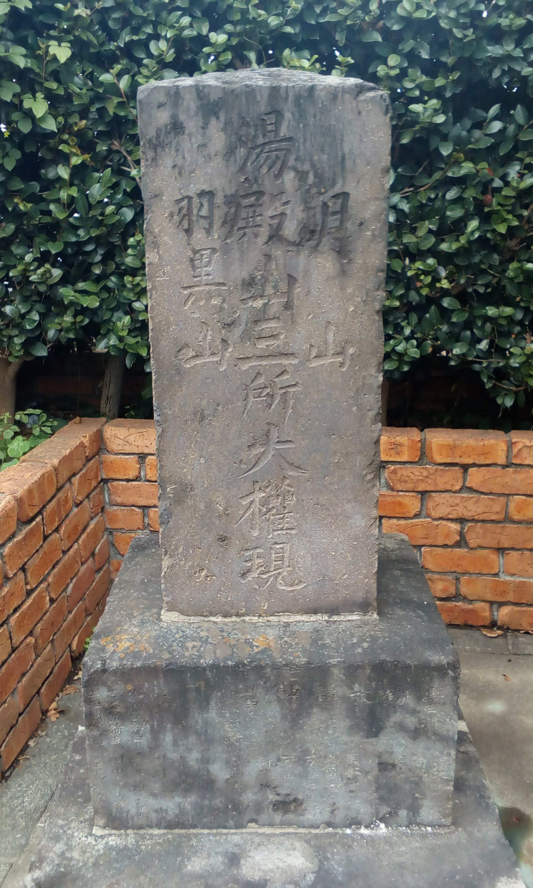
| 所在地: | 東京都立川市若葉町三丁目(13202) |
| 場所: | 路傍 |
| 種類: | 出羽三山塔 |
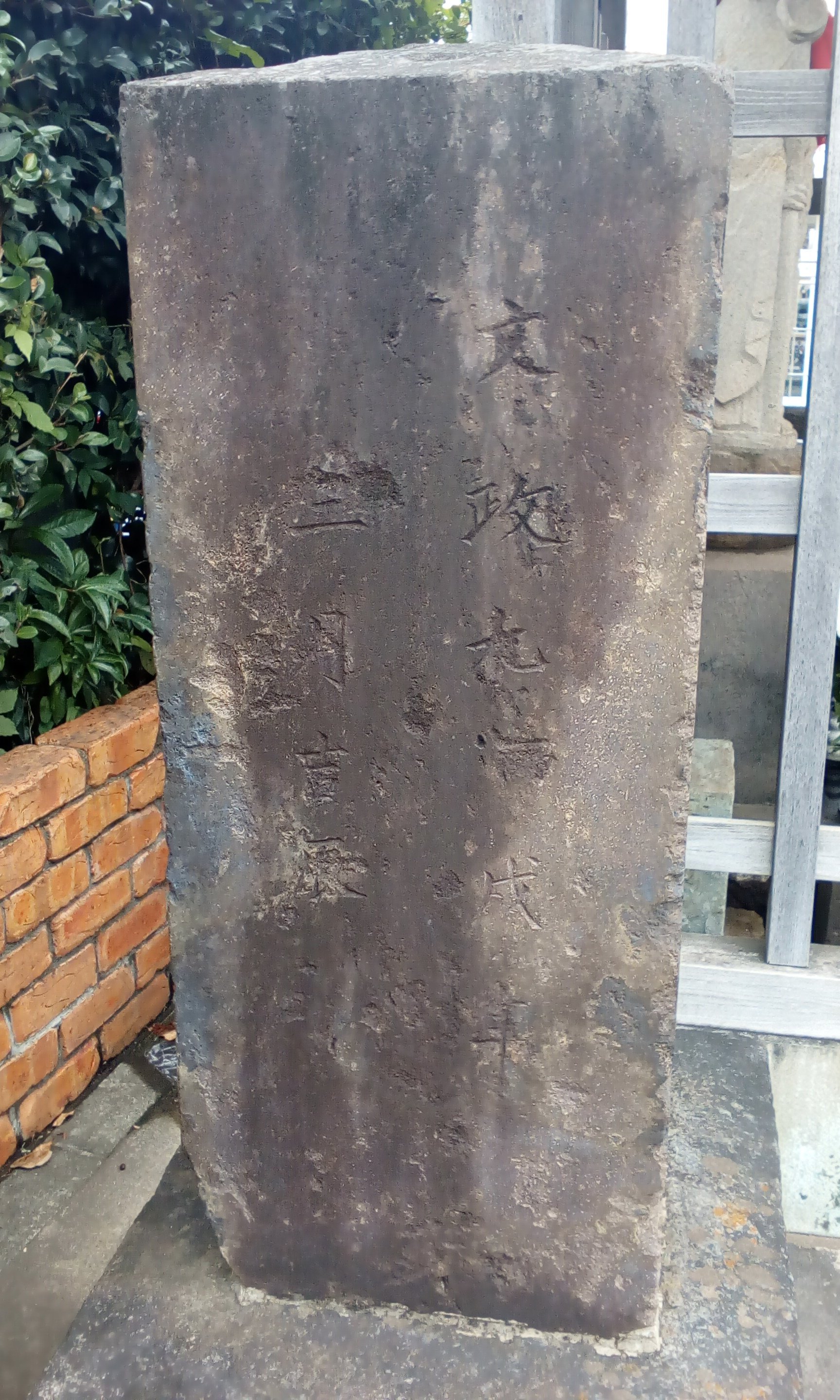
| 造立年(和暦): | 文政九年 |
| 造立年(西暦): | 1826 |
| 備考: | 2019年10月26日撮影 |
| タグ: | 湯殿山中心 |