| Permalink: | https://map.sekibutsu.info/archive/11219 ( マップ) |
| データ作成者: | あべまき |
| データ作成日: | 2023年 4月 12日 |
©あべまき (Licensed under CC BY 4.0)
| 緯度経度: | 38.225593, 140.405946 |
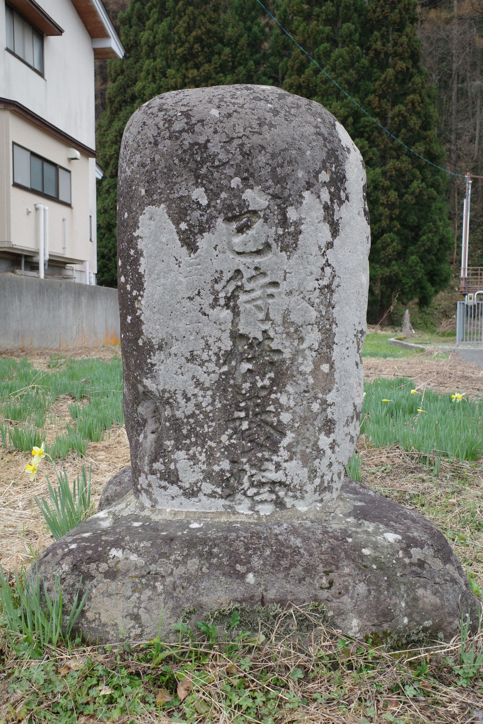
| 所在地: | 山形県山形市大字上宝沢(06201) |
| 種類: | 日待塔, 巳待塔 |
| 造立年(和暦): | 寛政六年 |
| 造立年(西暦): | 1794 |
| Permalink: | https://map.sekibutsu.info/archive/11219 ( マップ) |
| データ作成者: | あべまき |
| データ作成日: | 2023年 4月 12日 |
| 緯度経度: | 38.225593, 140.405946 |
| 所在地: | 山形県山形市大字上宝沢(06201) |
| 種類: | 日待塔, 巳待塔 |
| 造立年(和暦): | 寛政六年 |
| 造立年(西暦): | 1794 |