| Permalink: | https://map.sekibutsu.info/archive/12498 ( マップ) |
| データ作成者: | Takashi KOIKE |
| データ作成日: | 2023年 4月 26日 |
©Takashi KOIKE (Licensed under CC BY 4.0)
| 写真撮影日: | 2017-4-10 |
| 緯度経度: | 35.374791, 139.365048 |
| 所在地: | 神奈川県平塚市田村八丁目(14203) |
| 場所: | 十王堂跡 |
| 種類: | 道標 |
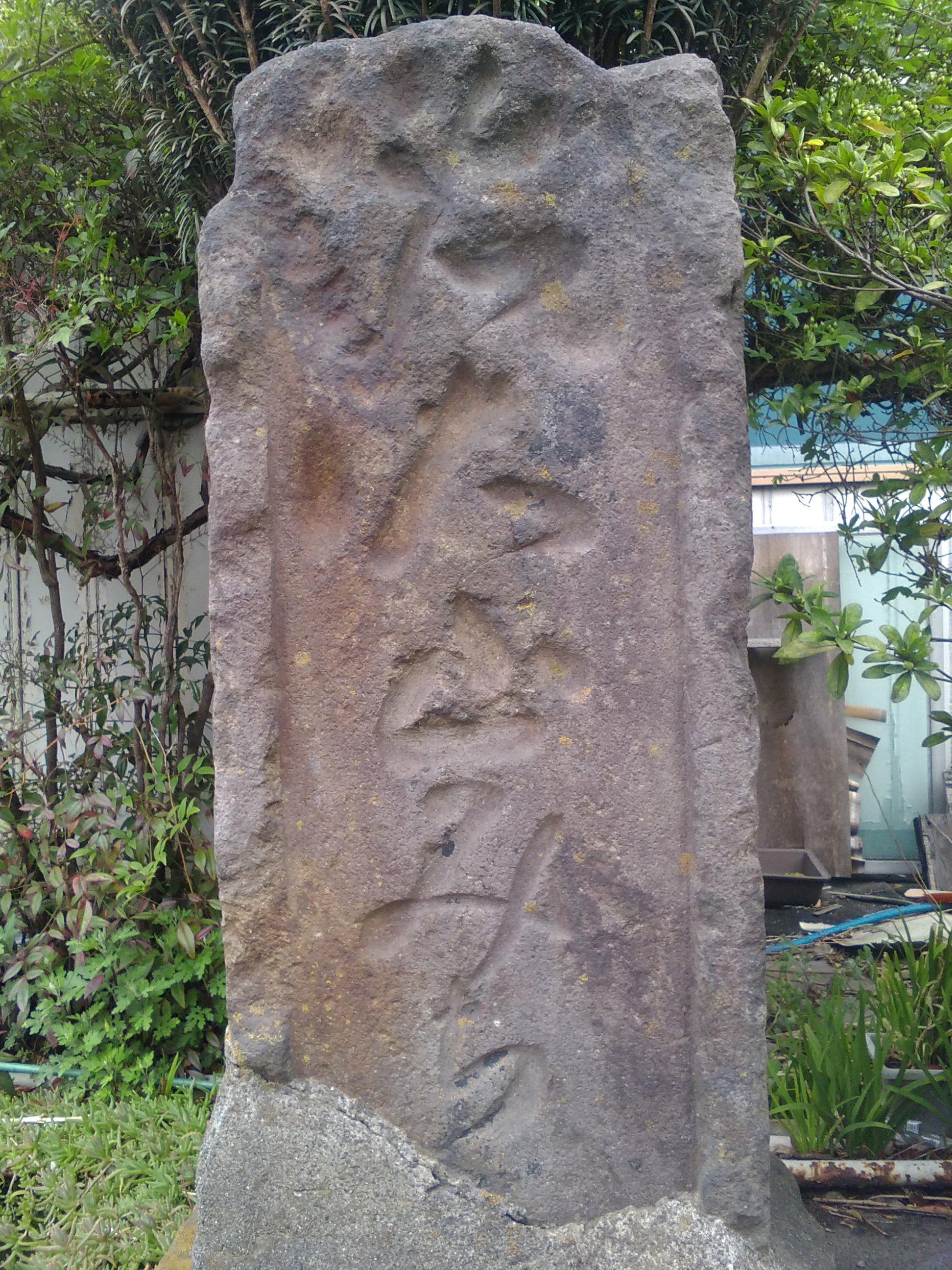
| 備考: | 2017年4月10日撮影 「右大山みち」 |
| タグ: | 大山道道標 |