| Permalink: | https://map.sekibutsu.info/archive/2089 ( マップ) |
| データ作成者: | Takashi KOIKE |
| データ作成日: | 2019年 7月 2日 |
©Takashi KOIKE (Licensed under CC BY 4.0)
| 写真撮影日: | 2019-07-02 |
| 緯度経度: | 36.1350533, 139.1307220459 |
| 所在地: | 埼玉県秩父郡長瀞町(11363) |
| 場所: | 墓地 |
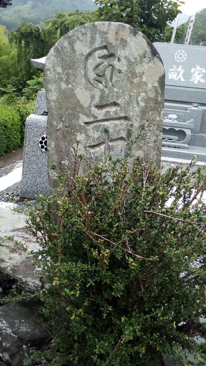
| 種類: | 月待塔, 二十二夜塔 |
| 造立年(和暦): | 寛政九年 |
| 造立年(西暦): | 1797 |
| プロジェクト: | 月待ビンゴ |