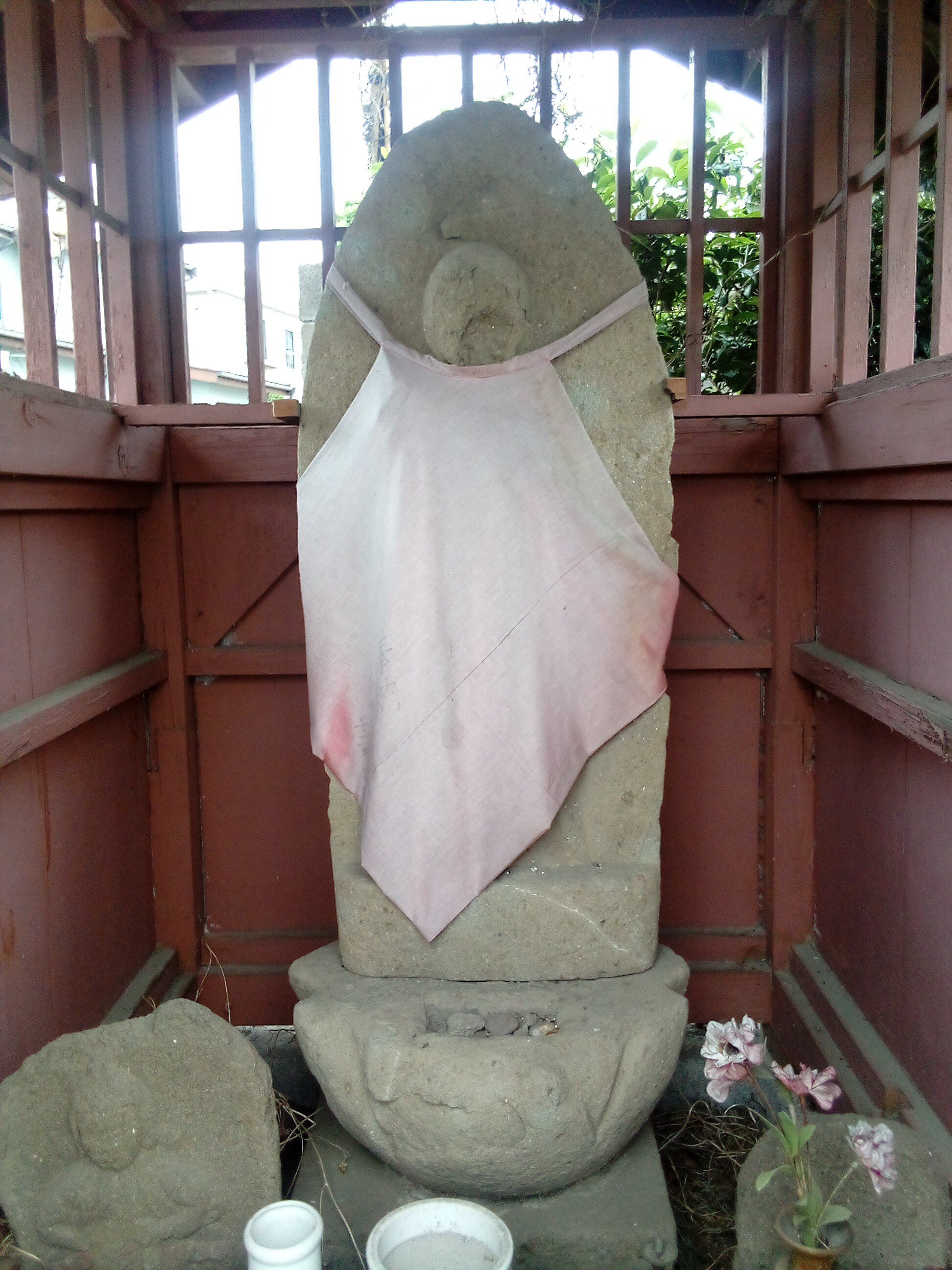
| Permalink: | https://map.sekibutsu.info/archive/29015 ( マップ) |
| データ作成者: | Takashi KOIKE |
| データ作成日: | 2024年 5月 19日 |
©Takashi KOIKE (Licensed under CC BY 4.0)
| 写真撮影日: | 2024-05-19 |
| 緯度経度: | 35.604769, 139.328818 |
| 所在地: | 東京都町田市相原町(13209) |
| 場所: | 路傍 |
| 種類: | 庚申塔 |
| 像容(刻像): | 地蔵 |
| 参考URL: | http://tatsu024632.livedoor.blog/archives/18547479.html |

