| Permalink: | https://map.sekibutsu.info/archive/38655 ( マップ) |
| データ作成者: | Takashi KOIKE |
| データ作成日: | 2025年 10月 10日 |
©Takashi KOIKE (Licensed under CC BY 4.0)
| 写真撮影日: | 2025-10-10 |
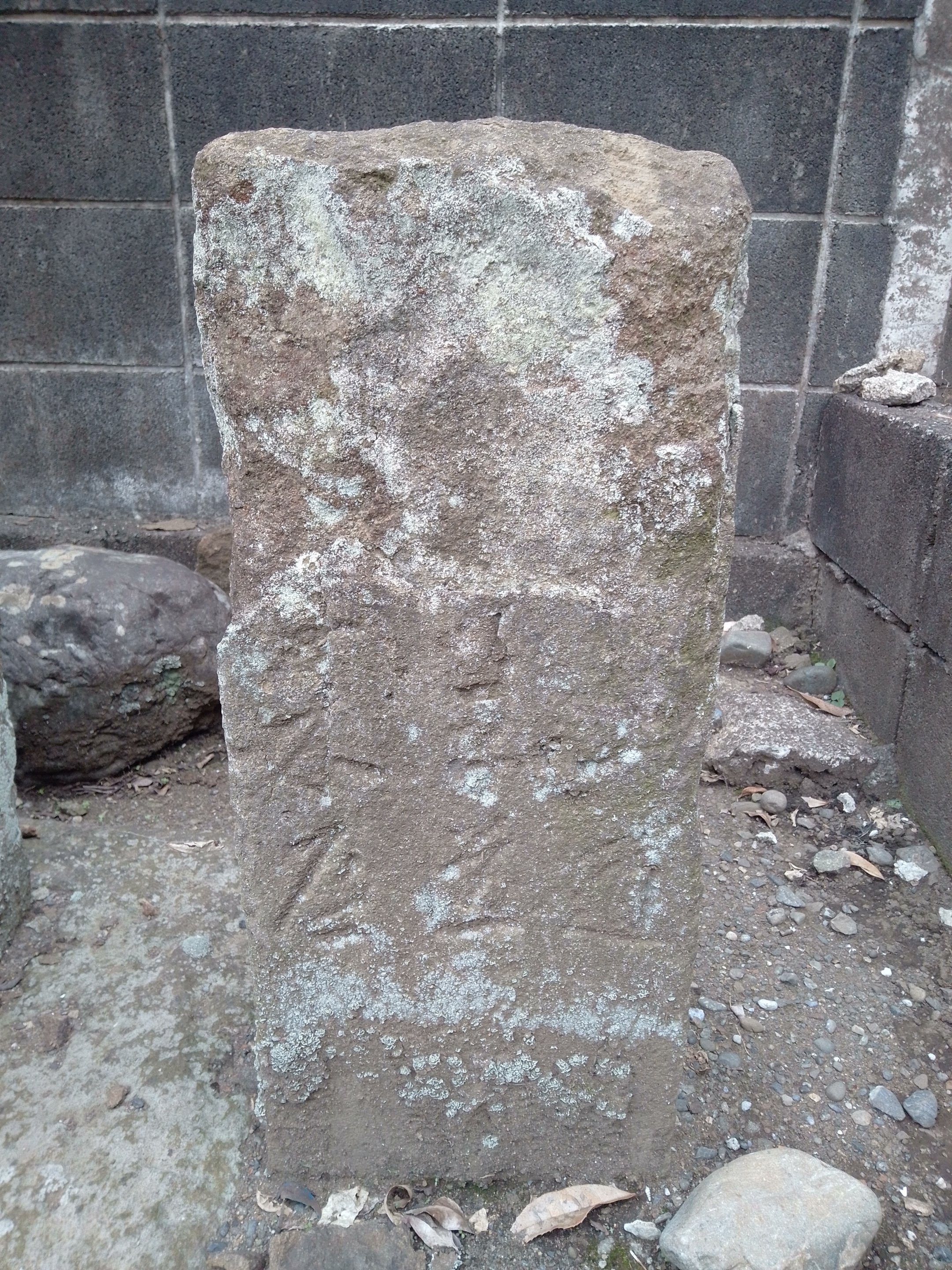
| 緯度経度: | 35.589716, 139.343386 |
| 所在地: | 神奈川県相模原市緑区橋本1丁目17(14151) |
| 種類: | 道標 |
| Permalink: | https://map.sekibutsu.info/archive/38655 ( マップ) |
| データ作成者: | Takashi KOIKE |
| データ作成日: | 2025年 10月 10日 |
| 写真撮影日: | 2025-10-10 |
| 緯度経度: | 35.589716, 139.343386 |
| 所在地: | 神奈川県相模原市緑区橋本1丁目17(14151) |
| 種類: | 道標 |