| Permalink: | https://map.sekibutsu.info/archive/7202 ( マップ) |
| データ作成者: | wil397 |
| データ作成日: | 2023年 3月 2日 |

©wil397 (Licensed under CC BY 4.0)
| 緯度経度: | 35.817595, 140.657996 |
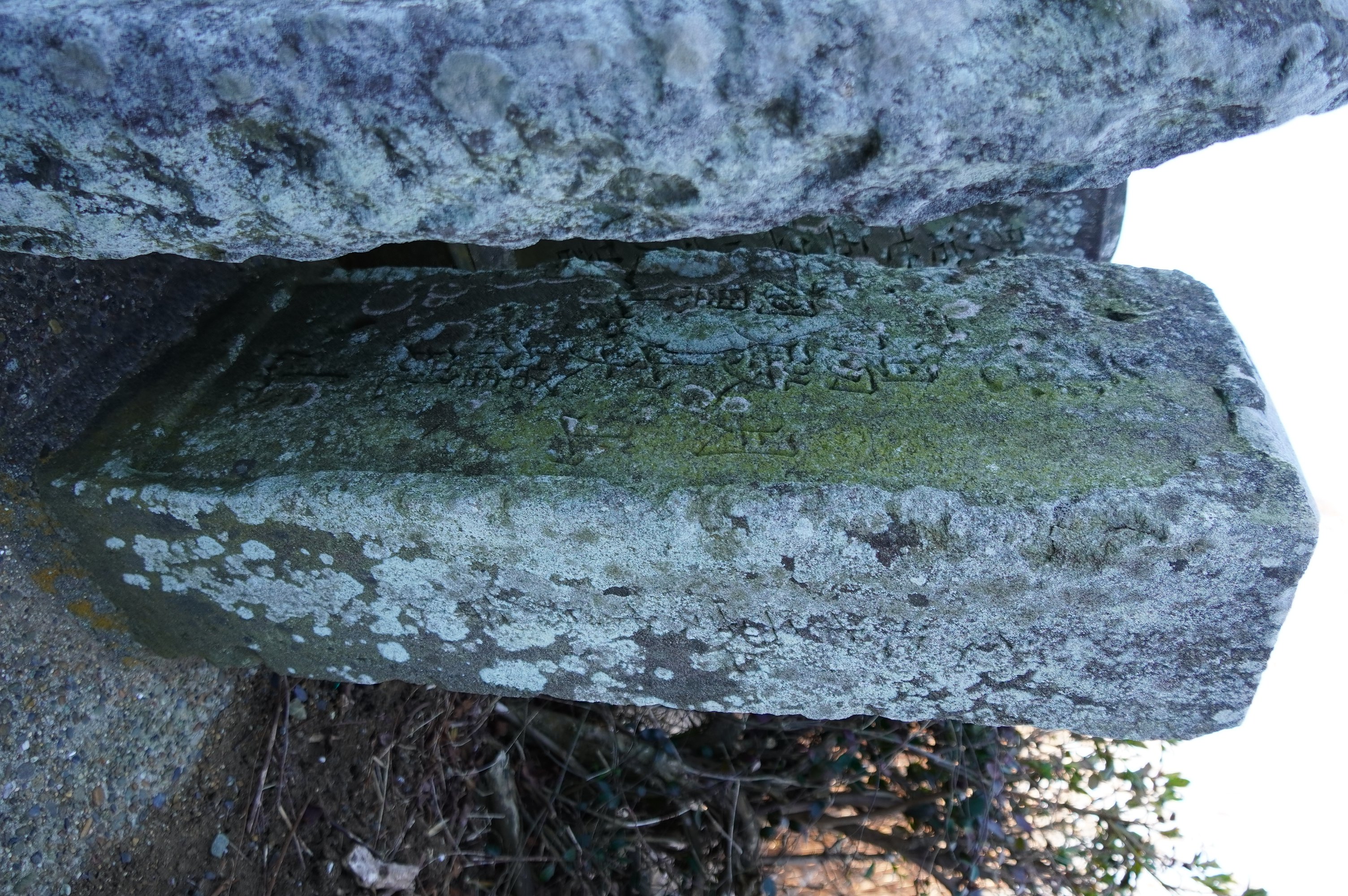
| 所在地: | 千葉県東庄町高部(12349) |
| 場所: | 共同墓地 |
| 種類: | 出羽三山塔 |
| 造立年(和暦): | 文化十二年 |
| 造立年(西暦): | 1815 |
| 備考: | 無縁仏群にある。 |
| タグ: | 湯殿山中心 |
| Permalink: | https://map.sekibutsu.info/archive/7202 ( マップ) |
| データ作成者: | wil397 |
| データ作成日: | 2023年 3月 2日 |
| 緯度経度: | 35.817595, 140.657996 |
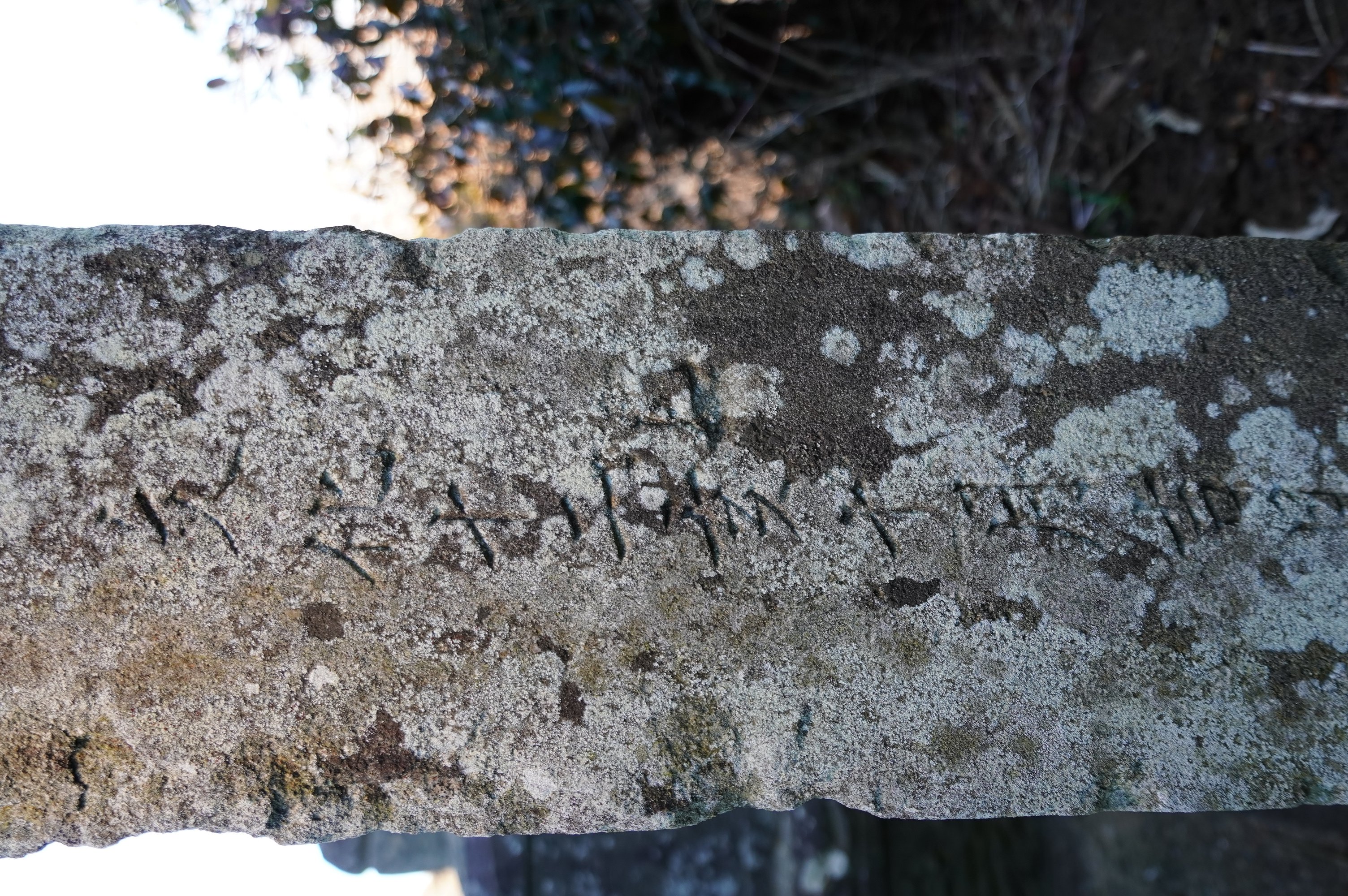
| 所在地: | 千葉県東庄町高部(12349) |
| 場所: | 共同墓地 |
| 種類: | 出羽三山塔 |
| 造立年(和暦): | 文化十二年 |
| 造立年(西暦): | 1815 |
| 備考: | 無縁仏群にある。 |
| タグ: | 湯殿山中心 |