| Permalink: | https://map.sekibutsu.info/archive/9704 ( マップ) |
| データ作成者: | Takashi KOIKE |
| データ作成日: | 2023年 3月 31日 |
©Takashi KOIKE (Licensed under CC BY 4.0)
| 写真撮影日: | 2023-03-31 |
| 緯度経度: | 35.375579, 139.455116 |
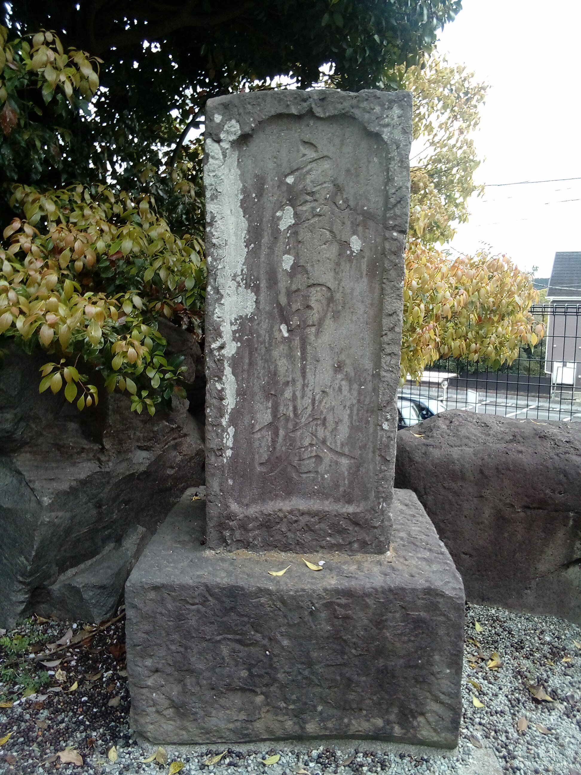
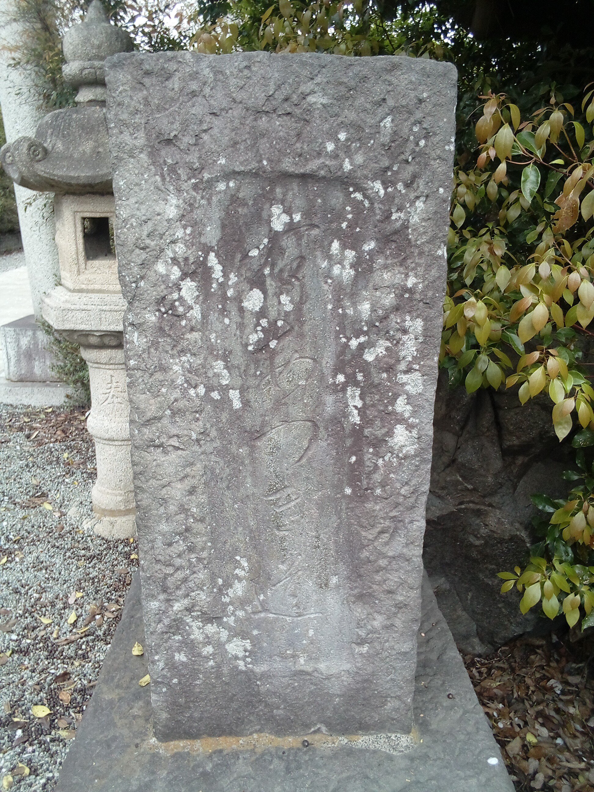
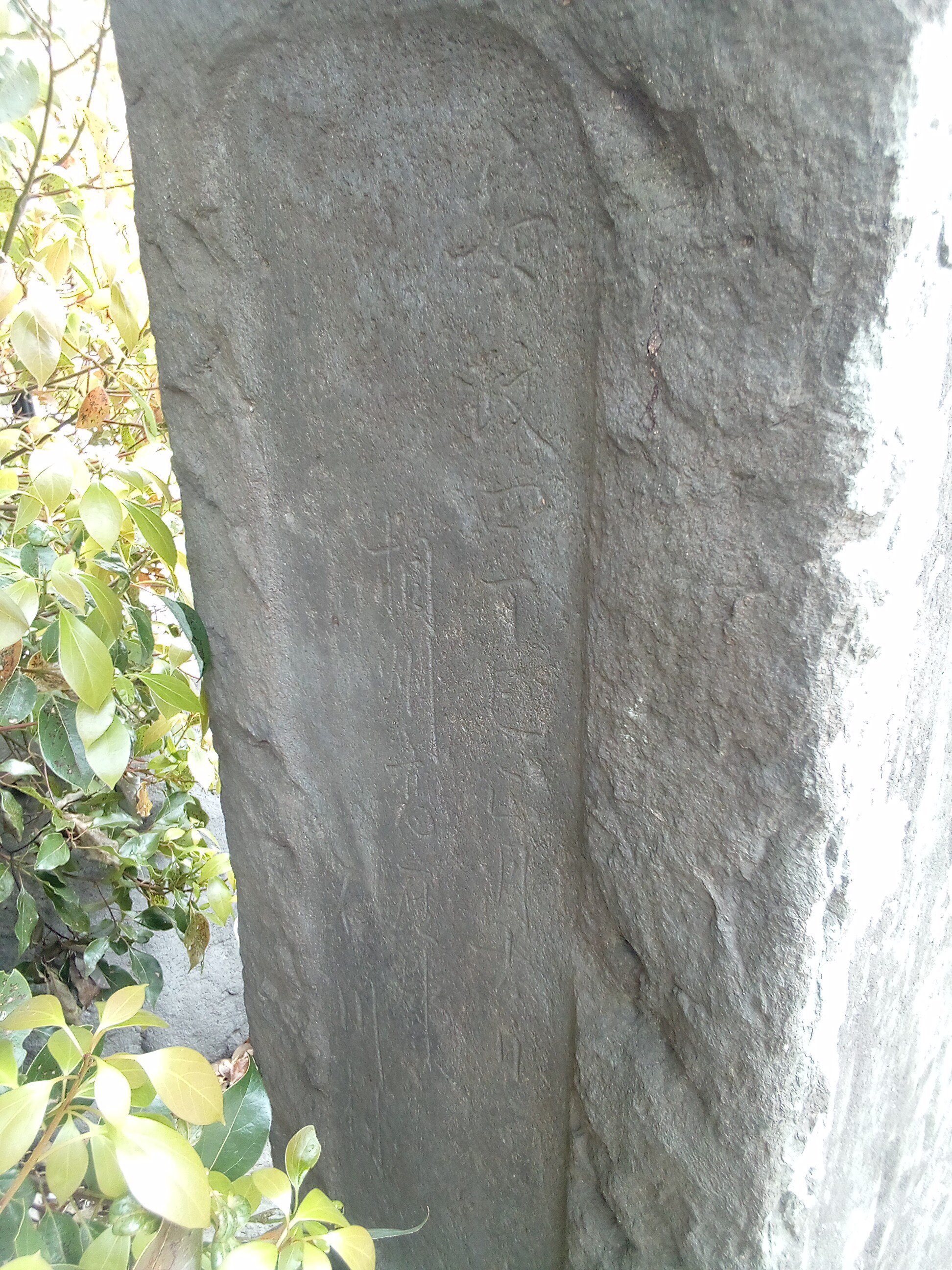
| 所在地: | 神奈川県藤沢市石川(14205) |
| 場所: | 佐波神社 |
| 種類: | 庚申塔, 道標 |
| 造立年(和暦): | 安政四年 |
| 造立年(西暦): | 1857 |
| 備考: | 道標を兼ねる。「右あつぎ道」 |